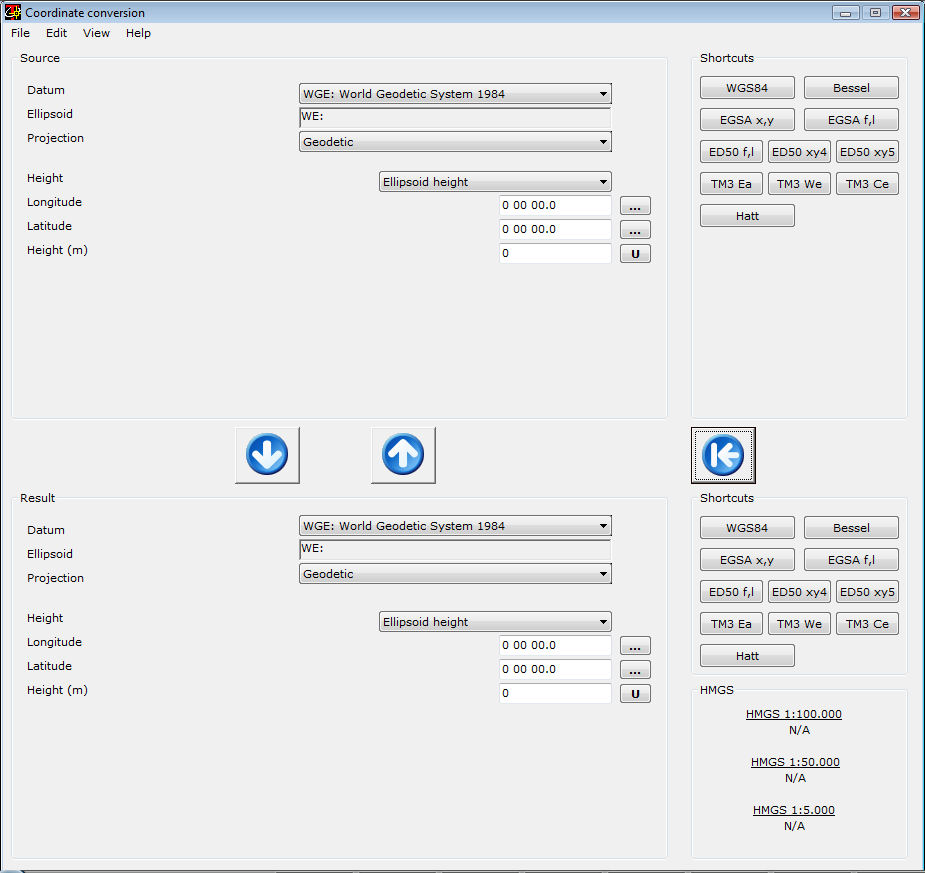
Coordinate Conversion
Array
49,00 €
Product Info
Version 16This program is used for conversion of geographic coordinates among a wide variety of coordinate systems, map projections, grids, and datums. The program, apart from single coordinates, is capable to convert whole text files containing coordinates, as well as DXF files, ArcView Shapefiles and GTM Trackmaker files.
Features
- Conversion of coordinates amongst virtually any system.
- Direct handling of text files of any form.
- Direct conversion of DXF files, ArcView Shapefiles and GTM Trackmaker files.
Conversion (to and from)
- Geodetic
- GEOREF
- Global Area Reference System (GARS)
- Geocentric
- Local Cartesian
- Military Grid Reference System (MGRS)
- United States National Grid (USNG)
- Universal Transverse Mercator (UTM)
- Universal Polar Stereographic (UPS)
- Albers Equal Area Conic
- Azimuthal Equidistant (S)
- British National Grid (BNG)
- Bonne
- Cassini
- Cylindrical Equal Area
- Eckert IV (S) & Eckert VI (S)
- Equidistant Cylindrical (S)
- Gnomonic (S)
- Lambert Conformal Conic (1 Standard Parallel)
- Lambert Conformal Conic (2 Standard Parallel)
- Mercator (Standard Parallel)
- Mercator (Scale Factor)
- Miller Cylindrical (S)
- Mollweide (S)
- Ney`s (Modified Lambert Conformal Conic)
- New Zealand Map Grid (NZMG)
- Oblique Mercator
- Orthographic
- Polar Stereographic (Standard Parallel)
- Polar Stereographic (Scale Factor)
- Polyconic
- Sinusoidal
- Stereographic (S)
- Transverse Cylindrical Equal Area
- Transverse Mercator
- Van der Grinten
- F-16 Grid Reference System
- Greek EGSA (x,y)
- Greek EGSA (phi,lamda)
- Greek Bessel (phi,lamda)
- HMGS ED50 Greece (phi, lamda)
- HMGS ED50 Greece (x,y,zone 4)
- HMGS ED50 Greece (x,y,zone 5)
- Three Degrees East Zone (MEPPPW) TM3
- Three Degrees West Zone (MEPPPW) TM3
- Three Degrees Central Zone (MEPPPW) TM3
- HATT Oblique Azimuthal Projection
 English (UK)
 Greek (Greece)

