River Flow
Array
699,00 €
Product Info
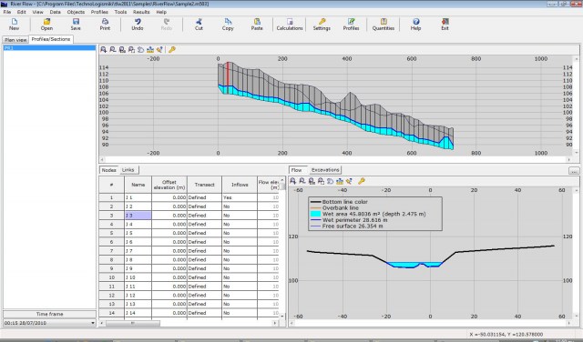
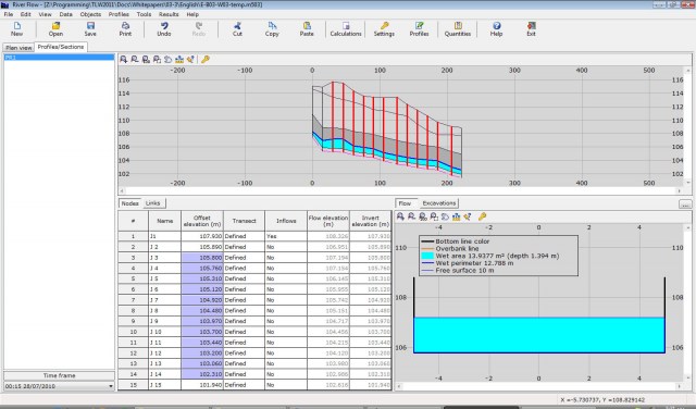
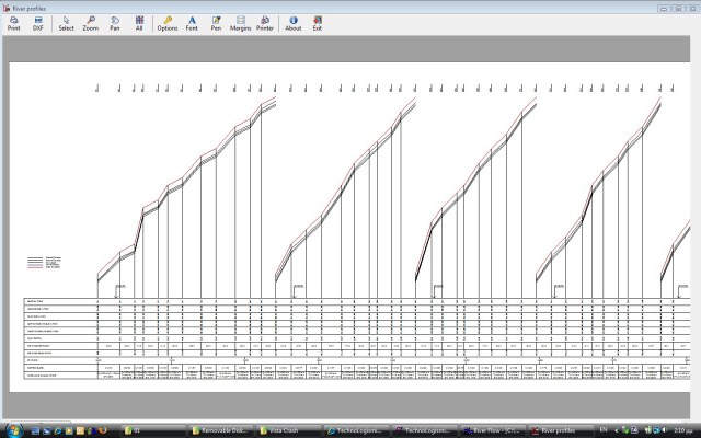
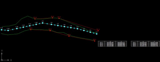
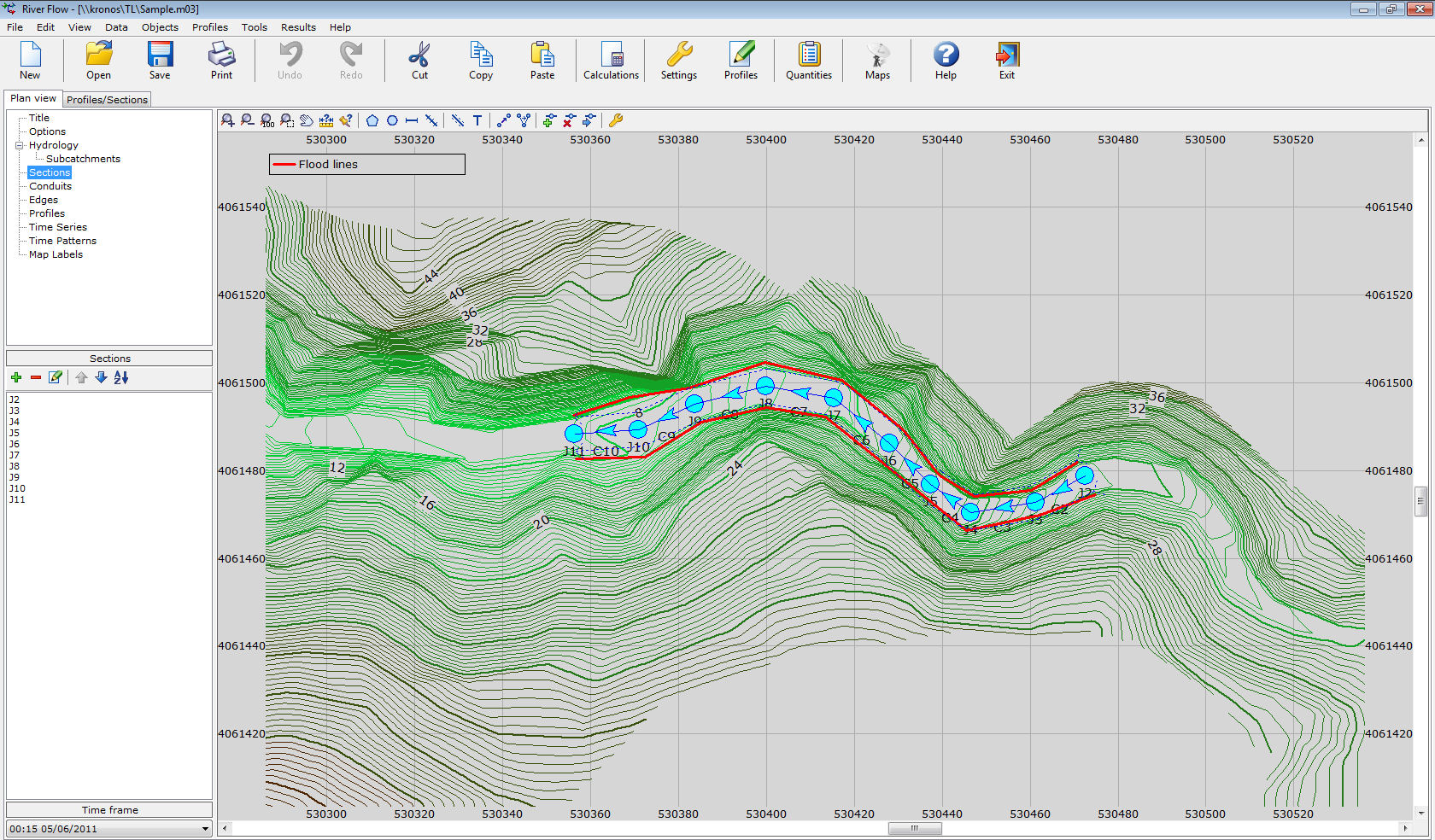
Version 24This program calculates the flood lines of a river or stream. You can optionally enter the coordinates of the riverbed from DXF/GIS/GPS and export the results e.g. flood lines, riverbed etc in DXF/GIS/GPS format. The following drawings are produced: plan view with table of coordinates, river profile, sections that include the water level. You can use uniform or non-uniform flow analysis (kinematic or dynamic wave). The section drawings include the water level. Given the contour data and the flows, the creation and analysis of a project takes few minutes.
Features
- Solves rivers and streams in uniform or non-uniform flow (kinematic or dynamic wave).
- Supports transect sections with:
- unlimited number of points
- import from DXF/GIS/PCS/SEC/GRD.
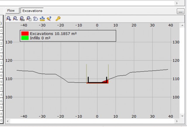
- Supports two extra transects: ground transect and trench transect so that backfilling and excavations will be accurately calculated.
- Additional data:
- unlimited vertical captions
- unlimited horizontal captions
- inflows table, etc.
- Data input tools:
- sections renaming
- sections renumbering
- mass import from GRD files
- import river bed from DXF/GIS.
- Plan view drawing with flood lines and coordinate tables of edge lines.
- Evaluation of critical depth per section and average Froude number per conduit.
- Profile drawing.
- Sections drawing.
- Major / minor contours. The major contours are thicker, and they are optionally accompanied by their value. These are also included in the DXF output file.
- Automatic evaluation of the sections based on the contours.
- Capability of creating a background collage of satellite images. The images are inserted through a special window in any resolution desired. The images are modified automatically (with translation, rotation, skewness) to fit a certain coordinate system. The overlap is precise and the boundary of the images is practically invisible. This allows the full coverage of the area of the project and diminishes the possibility of error. This capability requires an Internet connection. Also, the quality of the satellite images varies.
- Due to the previous update, the format of the DXF output file is now DXF2000, in order to accommodate the additional elements.
- Additional information regarding the water level are included in the section drawings.
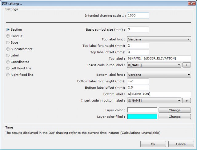
- Export of all drawings to DXF files.
- Import data and export results from/to Microsoft Excel or other spreadsheets.
- Databases:
- friction coefficients
- materials.
- Automatically plot selected profiles and export them to DXF.
- Tabulated results.
- Import subcatchments from DXF file.
- Full DXF output of the plan view, including the flood lines, edge lines with coordinate tables, sections with water level.
- Graphical representation of selected output variables.
- Full compatibility with previous versions of the program.
- Multilevel undo and redo.
- Professional reports and printouts in Microsoft Word or directly to the printer.
- Full user guide
- Tutorials.
- Live Update.
- English and Greek interface.
 English (UK)
 Greek (Greece)

